
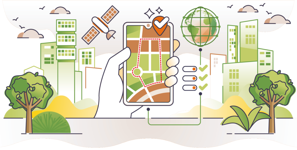
Our comprehensive geofence databases power smart navigation, fleet management, and logistics applications worldwide. From low-emission zones to school safety areas, our rich geospatial databases help businesses deliver safer, more sustainable transport solutions while ensuring regulatory compliance.
GeoJunxion’s advanced geofencing databases combine accurate boundary data with detailed metadata, enabling intelligent routing decisions and real-time alerts for diverse urban mobility challenges.
Eco Alert Zones are areas in cities with low-emission zones (LEZ), congestion zones, environmental zones, clean air zones (CAZ) and for example limited area zones (ZTL) where only certain vehicles are allowed. By integrating these zones into navigation systems, drivers can be alerted when they are approaching a congestion, environmental, clean air or ZTL zone. The rules, fees, restrictions and fines associated with these areas vary hugely country by country, so it is important to know where they are. Our database currently includes 2,500+ zones.
Geometry, name, location, type of zone, when it is active, acceptable emissions standards, vehicles it applies to and, where available, the latest prices in the local currency are all included to deliver a comprehensive overview. With additional details on the badge or fees needed for individual zones, drivers can avoid any potential penalties or decide against entering the zone during restricted hours. The information is updated daily and offered in both English and the local language.
Eco Alert Zones will enable car owner associations, fleet management or tour operators to steer clear of unnecessary fines and ultimately reduce their carbon footprint by finding optimal routes to travel and also inform customers about the vehicle emissions requirement for each trip. This authoritative and dynamic data is a perfect fit with the GeoJunxion mission to advance safety and sustainability through location-aware content.
KEY FEATURES
• Consistent, complete information from one source
• Based on authoritative data on official low emission and congestion zones
• Detailed attributes updated daily
• Highly accurate geometry information in English and local language
• Penalties in local currency
• Time restrictions given by vehicle type
• Digitised to the highest resolution
• Map agnostic – compatible with GeoJunxion, OSM or any other maps
• Information available as geographical database or via API
• The geometry information is available as boundaries and /or polygons
• Expanding global coverage
• Simple pricing models
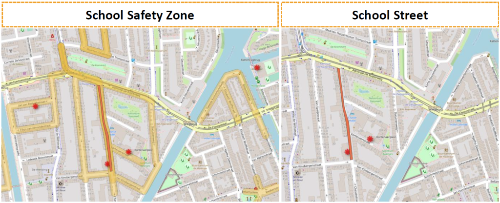
School Safety Zones are digital geofences to increase safety on the road, reduce probability of accidents and avoid traffic congestion. A School Zone is an area surrounding a school built to prioritize the safety of students, particularly when they commute to and from school. It typically encompasses the school grounds and extends to neighboring streets, sidewalks, bus stops and crosswalks where children are likely to be present.
GeoJunxion BV developed dedicated algorithms to create School Zones translating them into geolocalized data and advanced geofences. These areas can be utilized by governmental authorities and municipalities to define and refine School Zones and School Streets enforced by law. School Zones can also be utilized to notify drivers in navigation apps as well as for planning and route optimization in fleet management and transport & logistics solutions.
INCREASE ROAD SAFETY
Geofences are a proactive solution for school communities to tackle road danger and reduce accidents.
IMPROVE AIR QUALITY
Geofences help to create a healthier and pleasant environment for everyone.
AVOID TRAFFIC CONGESTION
Geofences help drivers to avoid congested areas, encouraging active travel to school for families.
OPTIMIZE ROUTES
Geofences are a solution to optimize routes in the city centers, reducing time to destination and related costs.
School Streets turn car-centered areas into pedestrian zones by closing down the roads from vehicles. A School Street is a road near a school with temporary restrictions on motorized traffic during specific times, typically around drop-off and pick-up periods. School Streets represent a growing measure in promoting safer, healthier, and more sustainable school environments.
School Streets by GeoJunxion are a complete dataset of geofences, digital twin of School Streets schemes, enforced by law and ready to be utilized into any navigation app, fleet management and transport & logistics solutions.
COVERAGE
School Streets geofences are available worldwide where enforced by law, either as off-the-shelf product or custom research.
ATTRIBUTES
The School Streets dataset includes geometries, school name, geographical area, opening and closing times and holidays.
DELIVERY FORMAT
The School Streets database is available in GeoJSON, Shape and any format upon customers’ request.
API INTEGRATION
School Streets can be utilized via API.
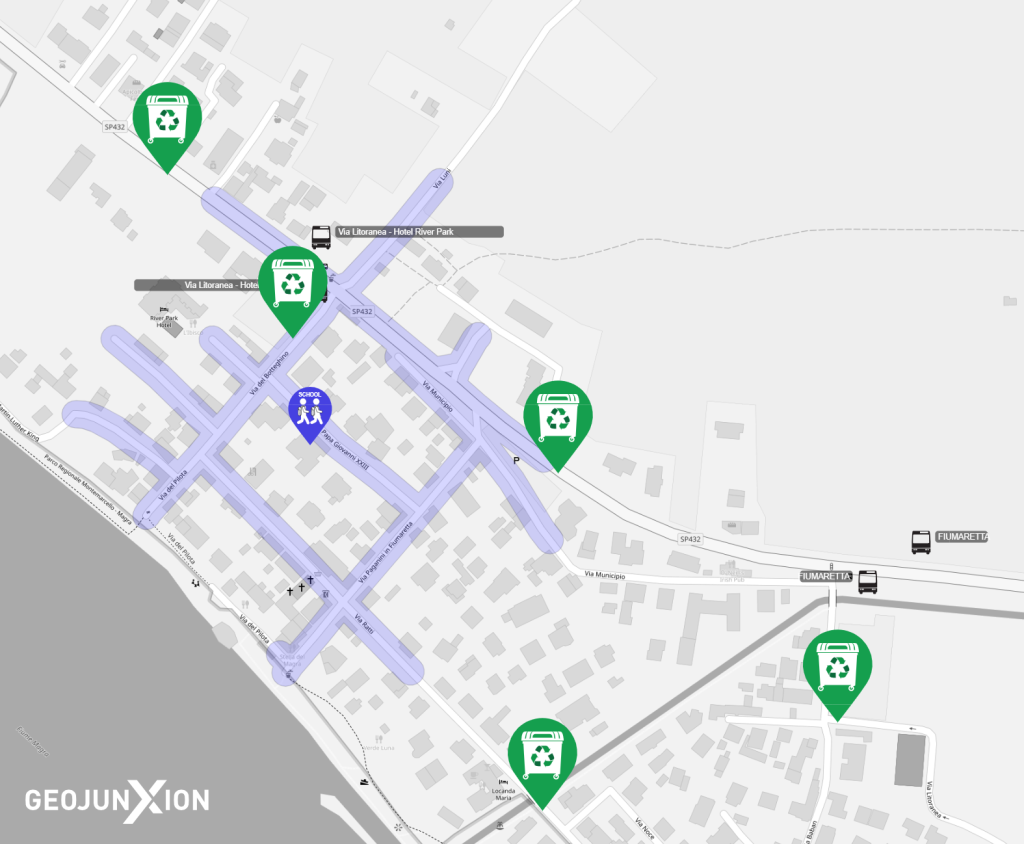
Helping to create a safer environment Safety Alert Zones can be leveraged to inform drivers approaching areas frequented by vulnerable pedestrians – for example, the vicinity of a school where children are likely to be crossing roads, walking along footpaths or playing nearby. The Safety Alert Zones smart polygons have been split into three levels to support a staggered warning: 100, 300 and 600 metre boundaries around the location.
Perhaps the most obvious use case for Safety Alert Zones is integration into navigation systems. However, it could also help city developers detect where infrastructure is in need of improvement; contribute to Smart City planning; support geomarketing specialists; and prove valuable for logistics, supply chain, delivery and IoT solutions.
Delivery options include an API in GeoJSON format; Shape File; or a GeoJunxion MapTiler Layer which is hosted and managed by our team.
KEY FEATURES
· Consistent, complete information from one source
· Highly accurate geometry
· Three warning levels – 100 to 600 metres around the zones
· Defined risk zones
· Location opening hours if available
· Map agnostic – compatible with GeoJunxion, OSM or any other maps
· Global coverage
· Multiple delivery options
· Simple pricing models
Our experts are always happy to help. Complete the form or contact us to connect with our team and start your journey with GeoJunxion today!